Vital Shuttle Route Details
The Whole Enchilada Trail System is a combination of 5 trails that all start at different elevations and have different access roads. When you book a shuttle we will always go to the highest drop off point available that day. Weather and trail conditions will dictate where we drop off. Early and late season snow can shut down trails. Rain can make some trails impassable. The Kokopelli trail system is comprised of bentonite clay which when wet will destroy your bike and your day.
The trailheads are NOT all on the same route. Porcupine/LPS/UPS are all on the same route up Sand Flats Road. If we drop off at UPS that day, the highest on this route, you may disembark earlier but please inform your driver your intention before you load your bike as you will need to load last to allow you to get off first.
Kokopelli/Hazard/Burro trails start off the Loop Road but all have different access points. If the drop off point includes one of these trailheads on the day you ride, we drop at the highest one possible and DO NOT STOP at any other trailheads on the way up as they are too far out of the way; a detour would take at least an hour.
If you sign up for The Whole Enchilada roughly between July 1st -Oct 31st we will most likely be headed to the very top trail, Burro, which starts at Geyser Pass. If you do not want to go to the very top please call and we can see if we can take your group lower, but that would require a custom shuttle. Please note, we have a minimum to go to other places but you never know, if you are solo there may already be shuttle you can hop on.
If between July 1st and November 21st (the day we close for the season) we drop lower than Burro it is because it is closed due to rain or snow conditions or road construction. If you are concerned where we are dropping on the day of your shuttle, it is your responsibility to contact us or the Chile Pepper Bike shop for the latest trail report.
ABOUT THE WHOLE ENCHILADA
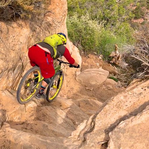
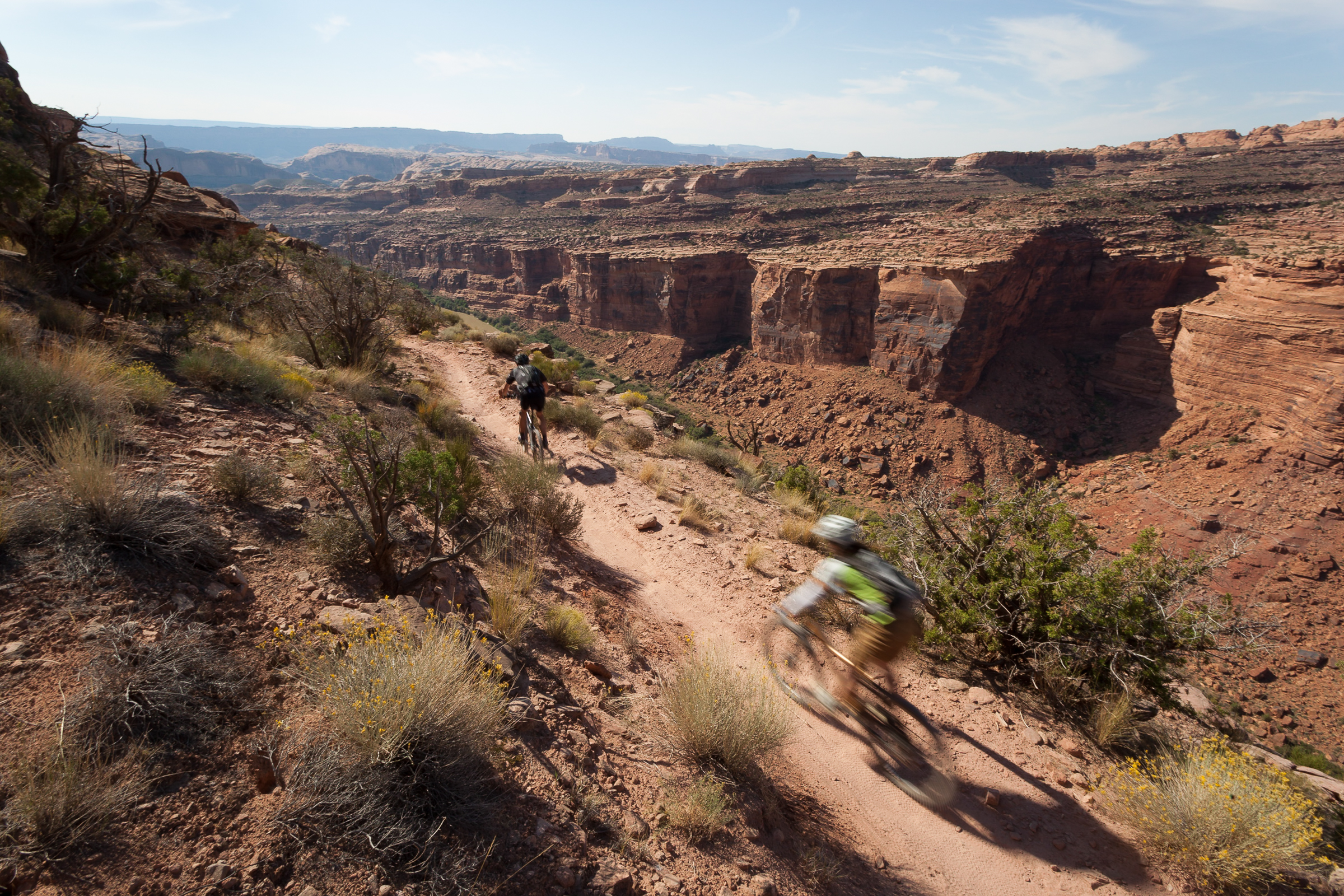
The actual Whole Enchilada (TWE) trail system is for ADVANCED (no joke) riders and includes Porcupine, LPS, UPS, Kokopelli, Hazard County and Burro Pass. The ride is 27 miles long plus 5 miles back to town on the relatively flat bike path. Elevation gain is about 2000 ft; loss is a rip-roaring 7300 ft. The system is still called the Whole Enchilada even if we cannot drop you at the very top. In general, snow levels, rain or mandated trail closures determine the drop off point. If we are dropping at the very top we do not pass by any other drop point along the way.
This is an epic trail system and you need to be prepared for high elevation mountain conditions, hot desert temps and quickly changing weather conditions all on one ride. Strong intermediate riders with good attitudes can handle the ride if we drop from Kokopelli/Hazard Down or lower. The riding isn't much easier, just shorter.
Porcupine, the lowest drop at close to 6,000 feet is the first trail to open in the spring. The highest shuttle drop off point at about to 10,500 feet is Geyser Pass, and is the start for the Burro section of the trail and “The” start for the “Whole” Whole Enchilada. This trail opens on July 1st if the snow is clear. This date is regulated by the Forest Service. LPS, UPS, Kokopelli and Hazard are between these two elevations. Even though the Whole Trail is open in the summer it is not the best time to ride it as it is hot, hot, hot. Shoot for the autumn if you can.
We generally depart daily at 8:15 a.m. and 10:30 a.m. spring and fall but earlier in the summer. We are not limited to these times so please call if you have a larger group and wish to go earlier or later.
Please check the weather conditions before you ride and pack accordingly. We take you to elevation so temps can be cold up top while it is scorching in the desert. The Burro section has a creek but all the other trails are dry, dry, dry. So, bring lots of water and don't forget sunscreen and snacks!
Our main pick up is at the Chile Pepper Bike Shop at 702 S. Main, next to the Moab Brewery.

